Friday, June 24, 2016

Archa Glad You Came to Arches National Park

Arches National Park is located 5 miles north of Moab, Utah off US-191 and 236 miles southeast of Salt Lake City, Utah (USA). 

We arrive in Moab in the morning.  The first thing we do is get a hotel room for the next couple of nights.  The sun is shining and we have partly cloudy skies.  We decide to take advantage of the fair weather forecast and visit Arches National Park today.  The sandstone arches against a blue sky is striking.  Tomorrow, the weather is predicted to be cloudy. 
Entrance Sign
Park Map
My Hubby favors the Yellowstone/Grand Teton Parks so we go there every couple of years.  However, Arches is my favorite National Park. It’s been 20 years since we last visited southern Utah and I am excited to return to Arches.  

While Yellowstone NP (2.2 million acres) has the world's greatest concentration of geysers (over 10,000 thermal features), Arches (76,679 acres) has the world’s largest concentration of natural sandstone arches (over 2,000 of them).   It’s a magical wonderland of stone that has been shaped by time and weather into graceful arches, petrified sand dunes, and a variety of fun rock formations.   Use your imagination – what do you see?

Thursday, June 23, 2016

Ancient Aruba in Modern Times - The Caves at Arikok National Park

Our cruise ship docks in Oranjestad, Aruba.  We couldn’t ask for better weather during our February visit.  Far better than the frigid temperatures back home.
Oranjastad, Aruba
Meanwhile ... Back Home ...
We gather our things and go ashore for our afternoon tour called the "Hidden Gems of Aruba”.  We have been to Aruba a few times prior to this trip.  Aruba’s rugged landscape is beautiful and the water activities are great.  But this visit I want to do something different.  How about a tour to Arikok National Park to see a couple of limestone caves?  Guardikin Cave is famous for its two chambers where streaming sunlight illuminates the dancing dust particles.  While Fontein Cave is known for its brownish-red pictographs left by the Arawak Natives.
Tourism Map of Aruba
We board bus #57 and meet our driver/tour guide named John.  During our 30 minute bus ride to the caves, John provides us with information about the various districts and landmark homes we are seeing.   

When we arrive at the entrance to Arikok National Park, we meet Stan.  He will be our guide while we are at the caves.  Stan is a friendly and energetic young man with a strong interest in preserving the environment. 
Park Map

Tuesday, June 21, 2016

A POPular House - The Kaleva Bottle House

We frequently visit the northwest quadrant of Michigan’s Lower Peninsula.  After awhile, we begin to wonder, “What else can we see or do that we haven’t already seen or done?” A little research revealed a small village in Manistee County that has a unique house built with 60,000 glass soda pop bottles.   I love history and unique architecture so I had to see this for myself.

Sunday, June 19, 2016

Learning About the Past - Old Bedford Village

Old Bedford Village is a five acre park located at 220 Sawblade Road, Bedford, Pennsylvania (off Business Route 220).  The Village is open Memorial Day weekend through Labor Day weekend from 9:00 a.m. to 5:00 p.m. (closed on Wednesdays).  From September through October it is open Thursday through Sunday from 9 a.m. to 5 p.m.  

We were here on a Friday in May (before Memorial Day).  I Googled “Old Bedford Village” and it said that the Village was open today until 5 p.m.  I was looking forward to seeing the Village.  Where else would I find two one-room schoolhouses and a covered bridge all in one location?   
Entrance Sign
At the entrance to the Village is the 126’ long Claycomb Covered Bridge.  In 1975, it was moved to the Old Bedford Village and placed over the Raystown Branch of the Juniata River.  It’s a fun way to set the mood for a visit to the historic village.
Driving through the Covered Bridge
Claycomb Covered Bridge

If You Are So Inclined - See Allegheny Portage Railroad NHS


My Hubby and I share a common interest in history.  He tracks down historic trains and I learn where the historic schools are.  Today, it’s all about the trains.
After we leave Horseshoe Curve (near Altoona), we drive to the Allegheny Portage Railroad NHS.  The Visitor Center closed at 5:00 p.m.  We arrive 45 minutes too late to see what is inside it but the park grounds are open until sunset. 
Visitor Center
Display signs along the trail will provide us with a better understanding on how and why this system was built. 
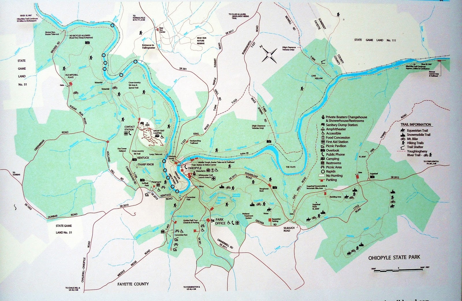
NPS Map
We begin by walking the boardwalk trail.  It is an easy walk through the woods to the Engine House and Inclined Plane No. 6.  A wooden deck offers a view of the remains of the incline.  An exhibit sign explains how the “steps” of the incline plane system works.  The Portage consisted of 11 relatively level horizontal passages that were linked by 10 'steep' inclined planes.”*       
Trail
Remains of Inclined Plane No. 6
NPS Map
On the right side of the wooden deck is the Engine House.  We peek through the windows and see the machinery that hoisted and lowered on the inclines.  “At the head of each incline was an engine house built of wood.  It contained the stationary steam engine, wheels, gears, hydraulic pistons, vertical 8-foot wheels, horizontal 9-foot by 7-inch sheaves, and wells approximately 3 feet wide and 8 feet deep.”*
Engine House 6 Exhibit Building
On the left side of the wooden deck is the beginning of a 1/3 mile trail (one way) to the 60.4’ long Skew Arch.  A skew arch “is a method of construction that enables an arch bridge to span an obstacle at some angle other than a right angle.”* 

We hike the downhill trail to the road (Hwy 22) to see the railroad bridge.  It's a steady uphill hike back to the Engine House.   
Trail to Skew Arch
Skew Arch
Trail View of Engine House
Near the Engine House is the two-story Lemon House.  It was a popular stop along the train route.  The former tavern now serves as a historical museum operated by the National Park Service.  It is unfortunate that we arrived to late in the day to see inside the museum.
Lemon House/Tavern
The Park closes at sunset and it’s time for us to leave for our next destination – the historic Old Bedford Village (Bedford, PA).

If you enjoy trains, I invite you to view my other blog posts on historic train sites/museums by clicking on the following links:

Altoona (population 40,796 in 2013) has a wide variety of lodging and dining options.  Bedford (population 2,781 in 2013) has fewer selections than Altoona but still offers some good choices.

Since opinions, preferences, and budgets vary, I recommend checking a trusted travel source for current reviews on dining and lodging options.  

For a list of historic railroad hotels, trackside motels, train themed B&B’s, and restaurants in former and active train stations, click on the following link:

This list will include the Red Caboose Motel (Ronks/Strasburg, PA).  Travel reviews weren’t very favorable prior to February of 2016.  That is when the caboose motel transferred ownership and reviews over the last couple months were better.  So, during our May 2016 visit, we thought we would stay one night ($150 + tax) at this unique lodging.   We weren't very impressed but kids seem to love it.  
 Red Caboose Motel
LOCATION:  Allegheny Portage Railroad National Historic Site (NHS), 110 Federal Park RoadGallitzin TownshipPennsylvania (USA).   It is located about 15 miles from Altoona and 40 miles from BedfordPA
Telephone:  (814) 886-6150  

HOURS/FEES:  The Visitor Center and buildings are open daily from 9:00 a.m. to 5:00 p.m.  The park grounds are open daily from sunrise to sunset.   However, Park hours can change due to holidays and inclement weather.  The entrance fee is $5 per person (children under the age of 15 are admitted free).  At this time, the Park does not accept credit cards.  For more information, please click on the “Plan Your Visit” link at the bottom of this post. 


BACKGROUND:  According to Wikipedia, The Allegheny Portage Railroad was the first railroad constructed through the Allegheny Mountains in central Pennsylvania.  Construction began in 1831 and took three years to complete.  It operated from 1834 to 1854.  Considered a technological marvel in its day, it played a critical role in opening the interior of the United States beyond the Appalachian Mountains to settlement and commerce.  In 1854 the portage railroad was rendered obsolete by construction of a locomotive railroad over the Alleghenies by the Pennsylvania Railroad, a private company.  A skew arch bridge, a masterwork of cut stone construction, is another feature of the site.”  This 1,296-acre park was established on August 31, 1964.  The Allegheny Portage Railroad NHS was designated a National Historic Landmark on December 29, 1962 and was listed on the National Register of Historic Places on October 15, 1966.  

Family vacations created some of my favorite memories.  To start planning your memorable trip to Allegheny Railroad Portage NHS, click on the “Plan Your Visit” link below: 

*National Park Service (NPS) Source


All Aboard for the Altoona Railroaders Museum & Horseshoe Curve

All Aboard!  Whether you are a train enthusiast, history buff, or adore antiques, the Altoona Railroaders Museum is the place to be.  We arrive at the Railroaders Museum and purchase a combo ticket (a wristband) for the Museum and Horseshoe Curve.            
Depending on your interest in the exhibits, and if you watch one or both of the films (19 and 21 minutes long), the average time spent at the Railroaders Museum Visitor Center is about 1.5 hours.  We were here longer because my hubby (a train enthusiast) had a lengthy conversation with the museum’s Curator. 

Johnstown Flood National Memorial

From the triumphant first flight of the Wright Brothers at Kitty Hawk to the tragedy of the Johnstown Flood, our national historic sites honor the lives and times of those who came before us.    Today, we are visiting Johnstown, Pennsylvania (USA).   It is located 43 miles west-southwest of Altoona and 67 miles east of Pittsburgh.

According to Wikipedia, "The Johnstown Flood National Memorial commemorates the 2,209 people who died in the Johnstown Flood on May 31, 1889, caused by a break in the South Fork Dam, an earthen structure.  It unleashed 20,000,000 tons of water creating a wave of destruction that devastated JohnstownPA.  The memorial preserves the remains of the dam and portions of the former Lake Conemaugh bed.  This 164-acre site was established as a National Memorial on August 31, 1964”.   It was listed on the National Register of Historic Places on October 15, 1966. 

We begin at the Visitor Center.  I strongly recommend seeing the 35 minute film about the flood.  It is a very well done documentary and worth the little extra time to watch it.
Visitor Center
A light rain is falling when we begin our driving tour of this historic site.  It’s appropriate weather because heavy rain (and poor dam site maintenance) is what caused this flood.  

Valley Forge NHP - American Revolutionary War Site

Valley Forge National Historic Park is a 3,500 acre park created to tell the story of the Continental Army during the winter of 1777-78.  Valley Forge had a battle but it wasn’t against the British.  It was a battle for survival (about 2,000 soldiers died during that winter from cold and disease).   It was added to the National Register of Historic Places in 1966 and was established as a National Historic Park on July 4, 1976. 

BACKGROUND:  “On December 19, 1777, the Continental Army consisting of 12,000 troops marched into Valley Forge.  For the next six months, the divided groups of militiamen would band together to form a true army, one capable of taking the fight to the British.”  

The 10 mile self-guided driving tour features 9 main stops.  Click on the link at the bottom of this post to print a map of the park/driving tour (Plan Your Visit).  An 8.7-mile paved multi-use trail parallels most of the driving tour route.  
NPS Park Map/Driving Tour
Our visit to Valley Forge NHP begins in mid-afternoon.  The first thing we do is go to the Visitor Center’s theater (in a separate building) and watch the 18-minute movie about Valley Forge. The main building of the Visitor Center includes exhibits and a large gift shop. 

The Visitor Center is Stop 1 on the 10-mile Encampment Tour Route.  It’s about 4:15 p.m. when we begin our driving tour of the park.  The skies are gray and a light rain is falling ... at least it isn't snowing or freezing cold like it was when George Washington was here.

Spend a While in Ohiopyle State Park (PA)


When my Hubby suggested we visit the 20,000-acre Ohiopyle State Park, I wasn't too excited ... at first.   Once we got there I enjoyed hiking some of the 75 miles of trails and seeing the waterfalls.  Of course, there are other things to see and do as well (mountain biking, cross-country skiing, snowmobiling, and horseback riding - not all trails are suitable for each activity).  It also includes over 14 miles of the Youghiogheny (pronounced yawki-gay-nee) River Gorge great for whitewater rafting.  Unfortunately, the whitewater rafting trip will have to wait for another visit.  
Park Map
The name Ohiopyle is believed to come from a Native American Indian word "ohiopehhla" meaning “white frothy water”.
Our spring visit to Ohiopyle State Park begins in mid-afternoon with a stop at the Visitor Center.  There are exhibits on the lower level as well as a glass-enclosed area for viewing the nearby waterfall.
Visitor Center
Lower Level Exhibits
View of Falls from Visitor Center's Lower Level
In addition to seeing Ohiopyle Falls (which is right next to the Visitor Center), the staff recommends going to the scenic Baughman Rock Overlook and Cucumber Falls.  The Park has several waterfalls.  Two of them are easy to see (Ohiopyle Falls and Cucumber Falls).  The other waterfalls require some hiking.  Since our time here is limited, the other waterfalls will have to wait for a future trip.  

From the Visitor Center’s lower level, I see a few kayakers on the river a short distance from the base of the falls.  Under certain conditions, kayakers are allowed to “shoot the falls”.  It’s not on my “to do” list but there are some adventurers who enjoy the ride. 
Kayakers on the Yough River

Wednesday, June 8, 2016

Gettysburg National Military Park (U.S. Civil War Site)

While we are visiting Pennsylvania, we had to stop in Gettysburg and tour the Park.  In 1895, the federally protected Gettysburg Battlefield was designated a National Park.  It was established for the purpose of protecting and interpreting the landscape of the 1863 Battle of Gettysburg.  In 1966, it was listed on the National Register of Historic Places. 
From July 1-3, 1863 over 160,000 men fought at the Battle of Gettysburg.  It was the bloodiest single battle of the American Civil War.  At the end of the three-day battle, about 50,000 men (and one woman) were killed, wounded, or missing.  Wait a minute - a woman was killed during the battle? 

Monocacy National Battlefield (U.S Civil War Site)

My Hubby and I enjoy visiting historical sites.  So, during one of our visits to the eastern United States, we toured several battlefields - including the Monocacy National Battlefield.

Monocacy National Battlefield is a 1,500+ acre park that was established on October 21, 1976.  The Battle of Monocacy was fought on July 9, 1864.  It is also referred to as "The Battle That Saved Washington," and was one of the last battles the Confederates would carry out in Union territory.   It was listed on the National Register of Historic Places and designated a National Historic Landmark on November 8, 1973.
Entrance Sign
NPS Map
I would allow 1-2 hours to see this Park.   Starting at the Visitor Center is a good way to begin a visit to the Battlefield.  The main floor features the flags from the States that fought in this battle as well as a book store.  We go to the second floor where there are exhibits and an electronic map describing the events of the day.  There are restrooms at the Visitor Center too.
Visitor Center
State Flags
2nd Floor - Electronic Map of the Battle
The Park has six hiking trails.  They are located at the Visitor Center as well as the Worthington Farm (stop 3), the Thomas House (stop 4), and Gambrill Mill (stop 5). You might consider allowing a little extra time to hike some of thesw trails.

Now that we know a little about the battle, it's time to begin the auto tour ...

Antietam National Battlefield (U.S. Civil War Site)

The Antietam National Battlefield is a 3,230-acre Park that was established on August 30, 1890 to preserve the battlefield site and honor those who fought here.  This Battlefield was listed on the National Register of Historic Places on October 15, 1966.
On September 17, 1862, the Battle of Antietam (aka Battle of Sharpsburg) was the first battle of the Civil War to be fought on Union ground. The 12 hours of fierce fighting resulted in more than 23,000 casualties (killed, wounded, or missing) making it one of the bloodiest single-day battles in the history of this nation. 

So, why is this battle known by two different names?