Pictured Rocks National Lakeshore stretches 42 miles along the shoreline of Lake Superior from Grand Marais to
Munising in Michigan's Upper Peninsula (USA).
*NPS Park Map
This 73,326-acre park was
established on October 15, 1966 as this country’s first national lake shore. It was created to preserve the shoreline,
cliffs, beaches, and dunes that offer year-round recreational opportunities. For us, that means hiking the trails,
communing with nature, and photographing its scenic landscape.
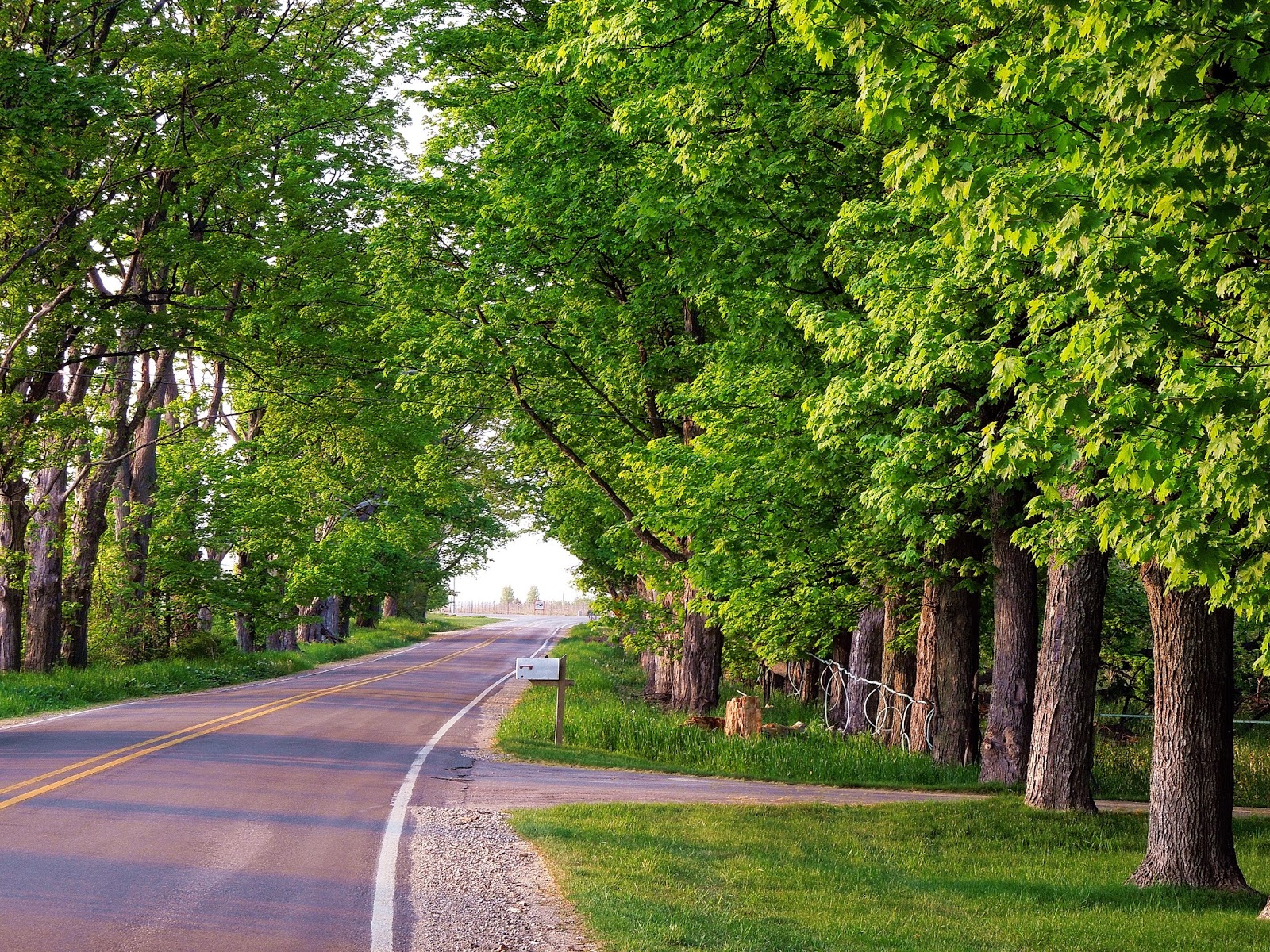
Welcome to Pictures Rocks National Lakeshore
Our first stop is at the Visitor Center where we get current information
on the Park, roads, and trails. For
your own safety, visitors should stay clear of the
cliff edges, and stay on the designated trails.
The Park has about 100 miles of trials ranging from easy and accessible (like the Marsh
Trail at Sand Point) to more challenging trails found in the back country areas.
The
back country was one of my first experiences at Pictured Rocks NLS. In the early 1990’s, we donned our backpacks
and hiked into the back country and camped a few nights. The trail follows the lake shore for some outstanding views. There are 15 miles
of sandstone cliffs that can rise 200 feet above the lake shore. The
colors in the cliffs are created by the large amounts of minerals in the
rock. During this trip, we see Mosquito Falls and one of the Park’s well-known
landmarks – Grand Portal. Not into
hiking the back country? Many features
like Grand Portal can be seen by taking a boat
tour.
Grand Portal
Sandstone Cliffs
Sunlight colors the rocky sandstone cliff
I do recommend taking a
boat tour. During our scenic cruise we were awestruck by the size and beauty of the sandstone cliffs, rock formations, and waterfalls. A link to the boat tour is available at the end of the post.
East Channel Light
Grand Portal
Sandstone Cliffs
Chapel Falls
The Park has seven named waterfalls that are popular to visit. They are: Munising, Bridalveil, Miners, Mosquito,
Chapel, Spray, and
Sable
Falls. These waterfalls
are the result of the sandstone outcroppings along the Pictured Rocks escarpment.
A leisurely stroll down an 800’ long paved trail leads us through a shaded sandstone canyon with footbridges over Munising Creek to the base of Munising Falls. This area has stairs you can climb to get a different view of the falls. It's a cool place to be on a hot day ... or a wintry day!
Munising Falls (50' drop)
Stairway to Upper Level Deck
Footbridge over Munising Creek
A lesser-known waterfall is the area’s best kept secret – Tannery Falls.
Tannery Falls
For more information on Tannery Falls, please refer to my bog post by clicking on the following link:
If you are looking to stroll through the woods a little longer, there is a connecting trail that will lead you to Memorial Falls (aka Twin Falls). I'm guessing the alternate name represents the similarity between Tannery Falls and Memorial Falls.
We drove to the Memorial Falls trail by heading east on H-58 and turning right on Nestor Street. Near the end of the dead-end street is a trail sign on the right side of the road. Toward the beginning of the quarter mile long trail is a short wooden bridge. This bridge crosses the creek just above the falls but we can't see the falls yet.
It is a pleasant walk through the forest along the top of the ridge. Soon, we see the connector trail leading to Tannery Falls veering off to our left through the forest. We keep walking straight ahead until the trail makes a right turn. Now, the trail begins a short but steep descent down the hillside. At the bottom of the hill, the trail curves to the right hugging the sandstone wall until we reach the falls.
Memorial Falls
The popular hike to
Miners
Falls is 1.2 miles (round
trip) and the parking lot may fill fast. We find a parking spot and begin walking the trail which winds through the forest.
Trail to Miners Flls
At the end of the trail are two viewing platforms. The upper deck offers a slightly distant view of the falls. The second platform requires going down 70+/- steps. I think it is
worth the effort for a better view of the falls.
Upper Deck View of Miners Falls
Stairway from ridge to Miners Falls
Close Up View of Miners Falls
During a winter visit we are the first to walk
the unspoiled snowy forest trail to the falls.
I can’t help but marvel at the beautiful scenes that a fresh layer of
snow can create on the winter landscape.
Snow-covered Trail to Miners Falls

Miners Falls (50' drop) - View from 2nd Platform
About one mile west of Grand
Marais is the Sable
Falls parking area. From the trail here, you get to see four of
the Park’s popular features – Sable Falls, the Log Slide, a distant view of the
1874 AuSable Light, and the Grand Sable Banks and Dunes.
Birch Trees near Sable Falls Parking Lot
The walk to Sable
Falls is a short half
mile (round trip) trail that includes about 169 steps down to the first viewing platform. We spray ourselves liberally with insect
repellent and hike the forest trail to the base of the tiered falls.
Stairs to Sable Falls
Sable Falls
After we photograph the falls, we continue hiking the half-mile trail
that parallels the river to a beach at Lake Superior. From here we get a nice view of the Grand
Sable Dunes. We sit on a fallen log for
a little while enjoying the view before returning to the parking lot.
Grand Sable Dunes
Before leaving the Sable Falls
parking lot, we walk to a sandy overlook.
From this vantage point, we can see the 300-foot high Grand Sable Banks
and Grand Sable Dunes to the east of us.
Grand Sable Banks & Dunes
The Log
Slide is directly in front of us. “Legend has it that logs sent down the dry log chute would generate
enough friction to cause the chute to catch fire.”
The log chute may be gone but the steep
sandy slope that remains has become a challenge for energetic visitors. The run down may be fun and fast but the
return climb back to the top is an exhausting workout (allow an hour for the
return climb up the slope). Anyone
attempting to do this should exercise extreme caution. As for me … I admired the view from the
top.
Log Slide
Log Slide - Another View - Going Up or Down?
Pictured
Rocked NLS is a magical and majestic place.
It even has a castle. Miners Castle
is probably the most recognizable and famous of all rock formations within the
Park. It is accessible by vehicle
and short trails. Over the years, this
sandstone castle has been under attack by wind, water, and weather. Sadly, in 2006, this icon of the Park lost one
of its turrets in its battle with erosion. So, while
its appearance has been altered slightly, Miners Castle still stands strong and proud
along the Lake Superior shoreline.
Miners Castle - after 2006
Miners Castle - before 2006
Miners Beach is a stone's throw from here. The sandy-based parking area is small but there was plenty of room when we arrived. On the left side of the parking lot is a short trail leading to the beach which was bustling with activity. A group of kayakers were preparing to begin their water excursion. We watched one of the Pictured Rocks boat tours cruise by the scenic shoreline. A group of backpackers were passing through on their their three mile hike to Mosquito Falls. Oh yeah, did I mention there is a waterfall here? Elliot Falls (aka Miners Beach falls) cascades right into Lake Superior.
Lake Superior
Elliot Falls
On the right side of the parking lot is the trail to Potato Patch Falls. It is a short but very steep hike up the dirt trail to the top of the ridge. The shallow trough-like trail reminds me of an intermittent creek bed. At the top of the ridge is a narrow side trail going to the left. From this trail, we see an obstructed view of the upper portion of the falls.
For a better look at Potato Patch Falls, we go back down the ridge a few yards and find another narrow side trail. This trail continues to descend for a short distance and then levels out following a sandstone wall. The trail ends at a small wooden deck. We find Potato Patch Falls in a "u"-shaped gorge much like Munising, Tannery, and Memorial Falls. Generally, this is a seasonal falls or more obvious after a rain. During our visit, we see some water flowing over the lip of the sandstone ridge and falling into a small pool of water at its base.
Potato Patch Falls
We drive to Sand Point and hike the easy half mile, handicap accessible Marsh
Trail.
Map of Marsh Trail
This is a wetland area – prime mosquito territory. While the Apple Blossom is
Michigan’s
State Flower and the White Pine is our State Tree, the
mosquito would probably be
Michigan’s
State Insect. We are prepared and spray insect repellent on us before hitting the trail.

Marsh Trail
Dwarf Iris along the Marsh Trail
The end of Winter ... no bugs now!
Wetlands along the Marsh Trail
Sometimes my hubby likes to get away from the crowds and find a quieter place to hike. During our fall 2017 trip, we drive east on H-58 to Little Beaver Road. It's a three mile drive down the hilly dirt road winding its way through a maple forest to the parking lot.
Next to the restrooms is the beginning of the one mile White Pines Nature Loop Trail. We begin hiking this trail.
Trail Sign
Trail
Soon, we encounter a fork in the trail. Going to the left follows the nature trail while the trail to the right will go to Lake Superior. We decide to take the trail to Lake Superior. We cross a short wooden foot bridge and continue hiking the dirt trail.
Footbridge
Along the trail are some large rock walls with overhangs and shallow caves.
Textured Rock Walls
Shallow Caves
The trail continues into the Beaver Basin Wilderness.
The trail ends at Lake Superior but the view is obstructed by a row of trees. There is a steep sandy path down to the lake shore. We don't go to the beach because it's getting late. According to the trail information this was a three mile (round trip) hike.
View of Lake Superior
Within the Park there are
campgrounds and picnic areas. Any other
type of food or lodging would be available in the “gateway” communities of
Munising or Grand Marais. They are about
49 miles apart via H-58 and about 60 miles apart via M-28E and M-77N.
Munising (population 2,327 as of 2013) offers several
national chain hotels and some locally operated lodgings. You will find a few national chain fast food
restaurants and some locally operated restaurants.
Grand Marais (population 387 as of 2014) has limited lodging
– all locally owned. There are very few
dining options.
Since opinions, preferences, and budgets vary, I recommend checking a trusted travel source for current reviews on food and lodging.
Family vacations created some of my favorite memories. To begin planning your memorable trip to Pictured Rocks NLS,
please click on the following link
For information on the Pictured Rocks Scenic Cruise tours, please click on the following link: